ReDIAL Project’s FarmSense Innovative Technology
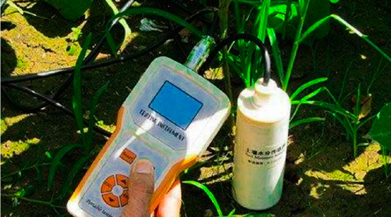
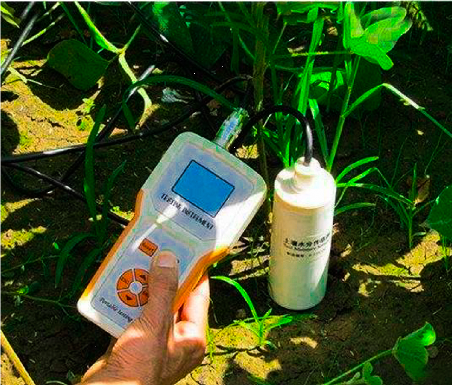
The FarmSense is a low-cost soil sensing innovative technology developed by SESI Technologies (a Ghanaian Start-up Company). FarmSense uses sensor technology to determine what specific nutrients are deficient in the soil and uses artificial intelligence powered cloud platform to analyze the sensor data and give appropriate recommendations on what specific inputs (soil nutrient enrichment products, seeds, etc to use) and interventions are needed to increase yield.
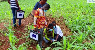
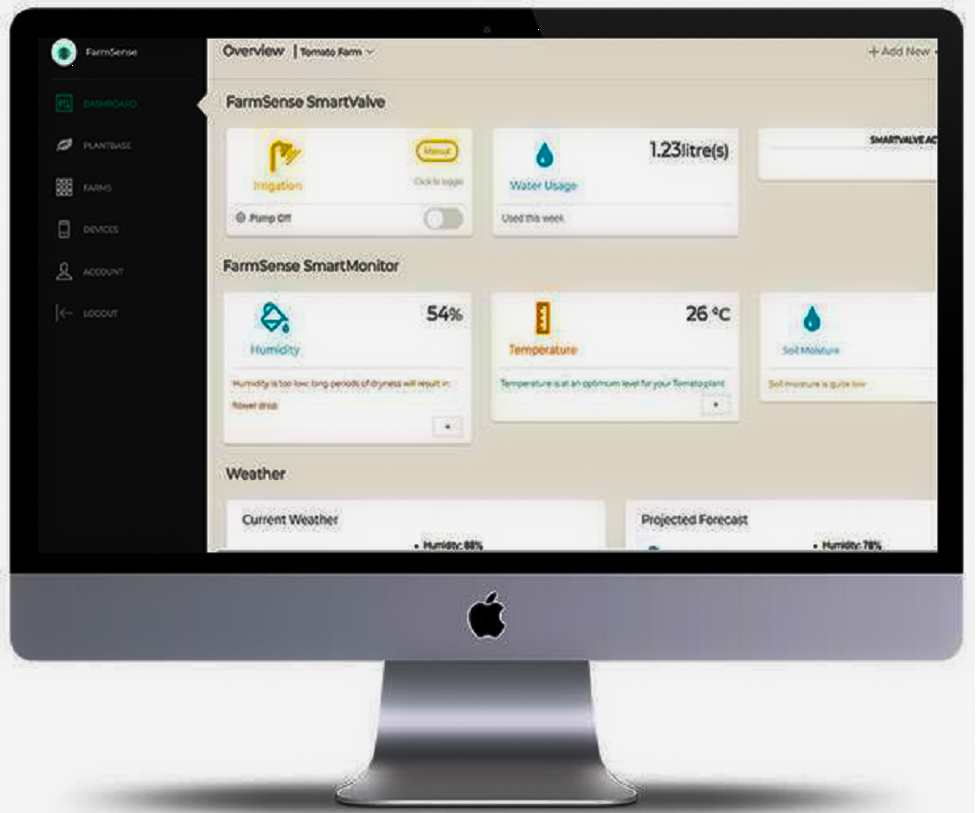
FarmSense uses a four (4)-part process to present a holistic approach to help smallholder farmers in Africa increase productivity. First, sensors have been developed to test the soil on the farmers’ farm, gathering essential soil information such as nitrogen, potassium, phosphorus, pH and salinity. Secondly, the data gathered is fed into an Artificial Intelligence powered cloud platform, which analyses the data in light of the crop being grown and makes intelligent recommendations such as what input needs to be applied to the soil to increase productivity. Thirdly, after identifying what inputs are needed, the farmers will be linked up with suppliers of those inputs and finally the farmer is supported to closely monitor the application of recommendations to ensure maximum productivity possible.
The FarmSense technology includes the following process shown in fig 1 below:
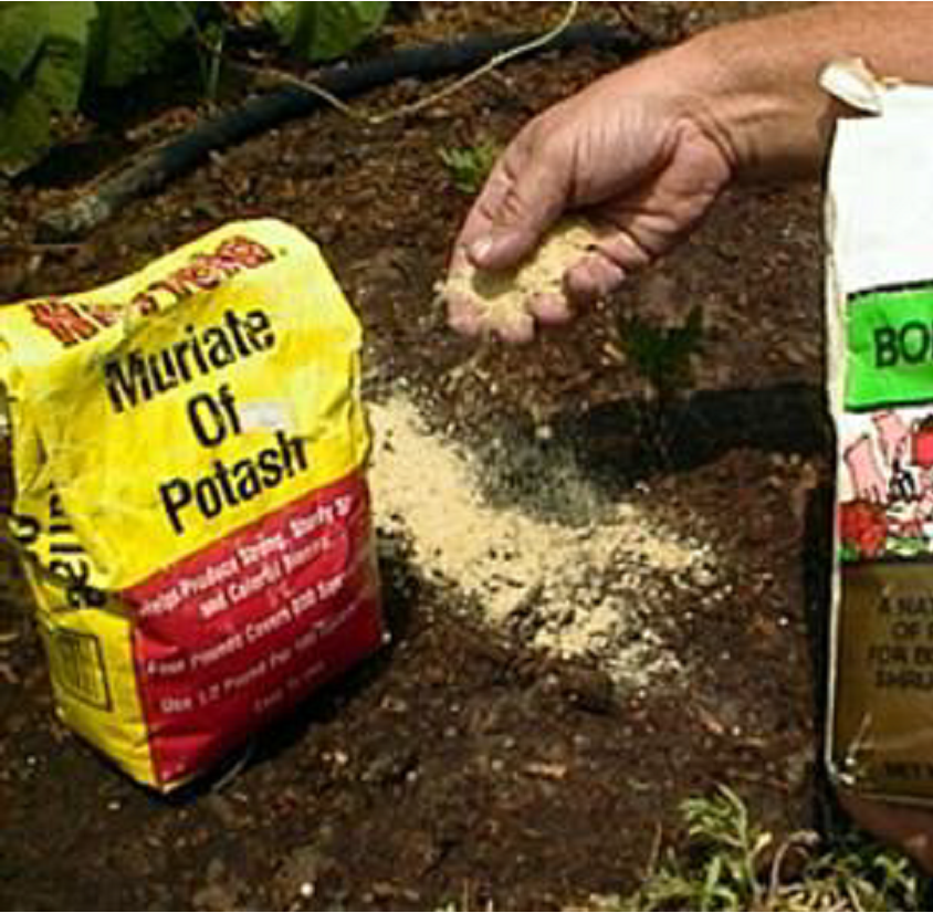
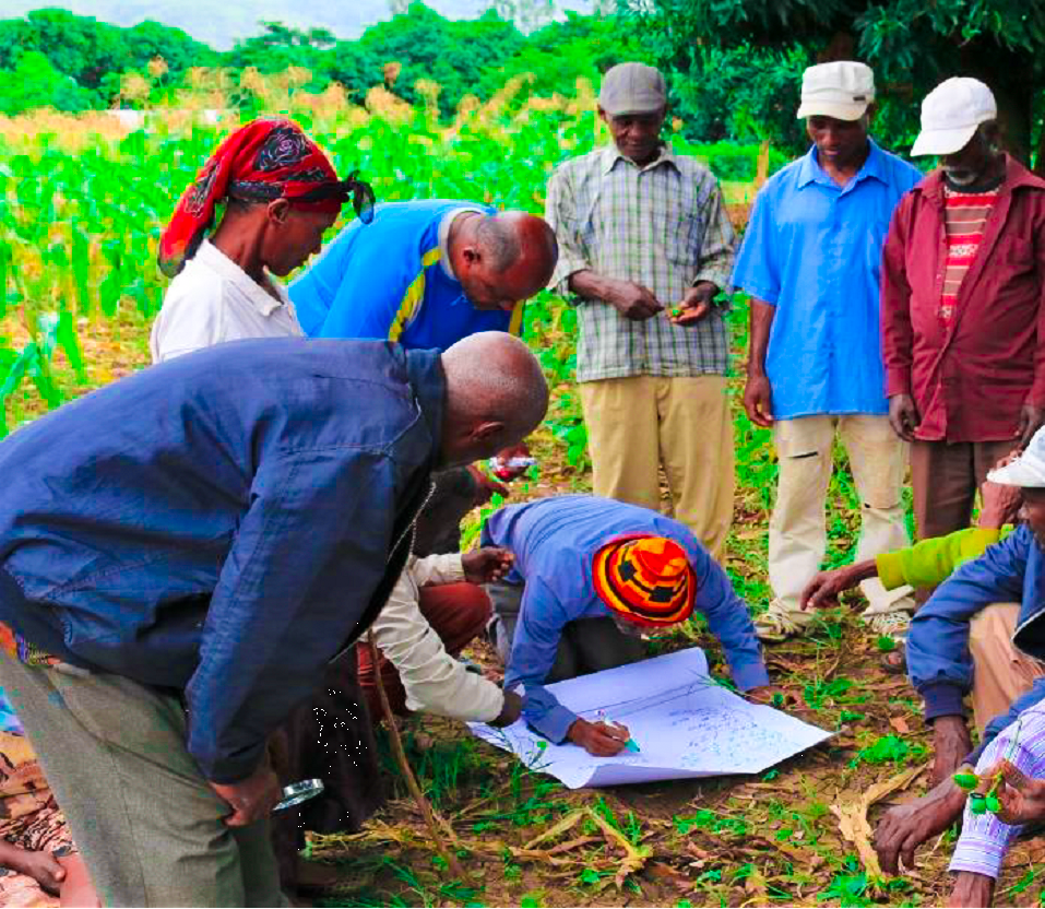
Due to soil impoverishment, the average yield of most crops is 20-30% of potential yield (Bationa et al 2018) however, addressing the problem of soil nutrients will contribute to increase in yield.
The FarmSense technology is effective to address the problem of soil nutrients and could contribute to about 50% increase in yield for smallholder farmers and therefore more profits made from a small piece of land. The technology solves the problem of farmers clearing more land areas to expand their farms to compensate for low yield. Particular attention will be paid to forest fringe communities where forest is being encroached by farmers. Therefore, farmers in these forest zones will be targeted and supported to improve soil fertility and productivity of their existing farms.
The Project is using the FarmSense technology to profile soil nutrient information in the target areas and Produce GIS maps. This activity will plot and map out selected farms and land areas to collate the soil nutrient data and process that data to generate information of soil fertility scale. This information will guide farmers to identify what crops the soil can support best and what to do to improve the soil fertility. The developed GIS maps to inform implementation of the Planting for food and Jobs Programme (PFJ) and other programmes to contribute to improved productivity.

